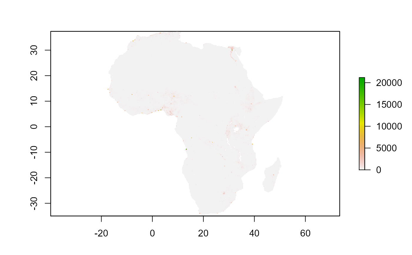
modelled population density 2020 per square km from WorldPop aggregated to mean per 20km squares
afripop2020.Rda raster object modelled population density 2020 per square km from WorldPop aggregated to mean per 20km squares
See data-raw/afrilearndata-creation.R for how the data object is created.
afripop2020
Format
Formal class 'raster';
Geographical coordinates WGS84 datum (CRS EPSG 4326)
Source
https://www.worldpop.org/geodata/summary?id=24777
See also
https://www.worldpop.org WorldPop datasets are licensed under Creative Commons Attribution 4.0 International (CC BY 4.0) https://creativecommons.org/licenses/by/4.0/
Examples
if (requireNamespace("raster", quietly = TRUE)) {
  library(raster)
  data(afripop2020)
  # or
  filename <- system.file("extdata","afripop2020.tif", package="afrilearndata", mustWork=TRUE)
  afripop2020 <- raster::raster(filename)

  plot(afripop2020)
}