Training Materials
The list of training materials below may be of interest to the afrimapr community.
Tutorial - Intro to spatial R | Andy South Laurie Baker
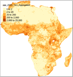
Introducing spatial data types in R, the packages sf, tmap and raster, with data from afrilearndata.
Tutorial - afrilearnr - a crash course | Andy South Laurie Baker
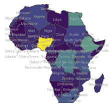
A gallery of example plots using tmap, ggplot2 & mapview that you can modify yourself, little explanation.
Tutorial - Joining spreadsheet data to a map | Andy South Laurie Baker
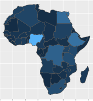
A step-by-step run through of how to create a map from a spreadsheet of summary data by region. What you need to do, in technical speak, is ‘join’ the spreadsheet data onto some spatial data. The afrijoin tutorial takes you through that process via some key motivating examples, like football mascots!
Geocomputation with R | Robin Lovelace Jakub Nowosad Jannes Muenchow
This book is for people who want to analyze, visualize and model geographic data with open source software. It is based on R, a statistical programming language that has powerful data processing, visualization and geospatial capabilities. The book covers a wide range of topics and will be of interest to a wide range of people from many different backgrounds.

Geospatial Health Data - Modeling and Visualization with R-INLA and Shiny | Paula Moraga
The book describes spatial and spatio-temporal statistical methods and visualization techniques to analyze georeferenced health data in R. Examples in the book focus on health applications, but the approaches covered are also applicable to other fields that use georeferenced data.